Sources & credits
Sources and licenses for the material on this site
The photographs, documents and quotations used on the site, their licenses, and how to report an error.
Method
How we source this site
- The images are in the public domain or under Creative Commons licenses that permit reuse, credited to their photographers and linked to their sources below.
- Documents are linked to their publishers rather than rehosted. A City filing, agency letter or technical report links to the publisher’s own copy.
- Quotations are short excerpts from public records, used for commentary and criticism and attributed inline to the document and the date it was filed.
Photography
Photography
| Image | Subject | Photographer | License | Source |
|---|---|---|---|---|
bluffs-daniels-park.jpg | The bluff rim at Daniels Park, Douglas County, Colorado, looking west across the high plains to the snow-capped Front Range. Rocky escarpment, scattered pine, big sky. | Hogs555 | CC BY-SA 3.0 | Commons, Daniels Park |
daniels-park-overlook.jpg | Daniels Park open space, Douglas County. Dry high-plains grassland running to the bluff edge with a long view to the foothills. Historic stone shelter at left. | Jeffrey Beall | CC BY-SA 3.0 | Commons, Daniels Park (Douglas County, Colorado) |
bison-daniels-park.jpg | The Daniels Park bison herd grazing on the bluff-top grassland, Douglas County, Colorado, June 2022, with the foothills on the horizon. | Pbritti | CC BY-SA 4.0 | Commons, Bison in Daniels Park |
lone-tree-ridgegate-sunset.jpg | Golden-hour sunset over open grassland along RidgeGate Parkway in Lone Tree, Colorado, with the road curving toward the foothills. | Jacob Montgomery | CC BY-SA 3.0 | Commons, Ridgegate Pkwy Sunset - panoramio |
dawson-butte-ridgeline.jpg | Dawson Butte, Douglas County, Colorado. A Front Range butte with ponderosa pine skirt and golden native grassland in the foreground. | Jeffrey Beall | CC BY 4.0 | Commons, Dawson Butte |
foothills-spruce-mountain.jpg | Spruce Mountain Open Space, Douglas County, Colorado. Ponderosa-and-scrub-oak foothills above a green rural valley dotted with large-lot properties. | Xnatedawgx | CC BY-SA 4.0 | Commons, Spruce Mtn Open Space 05 |
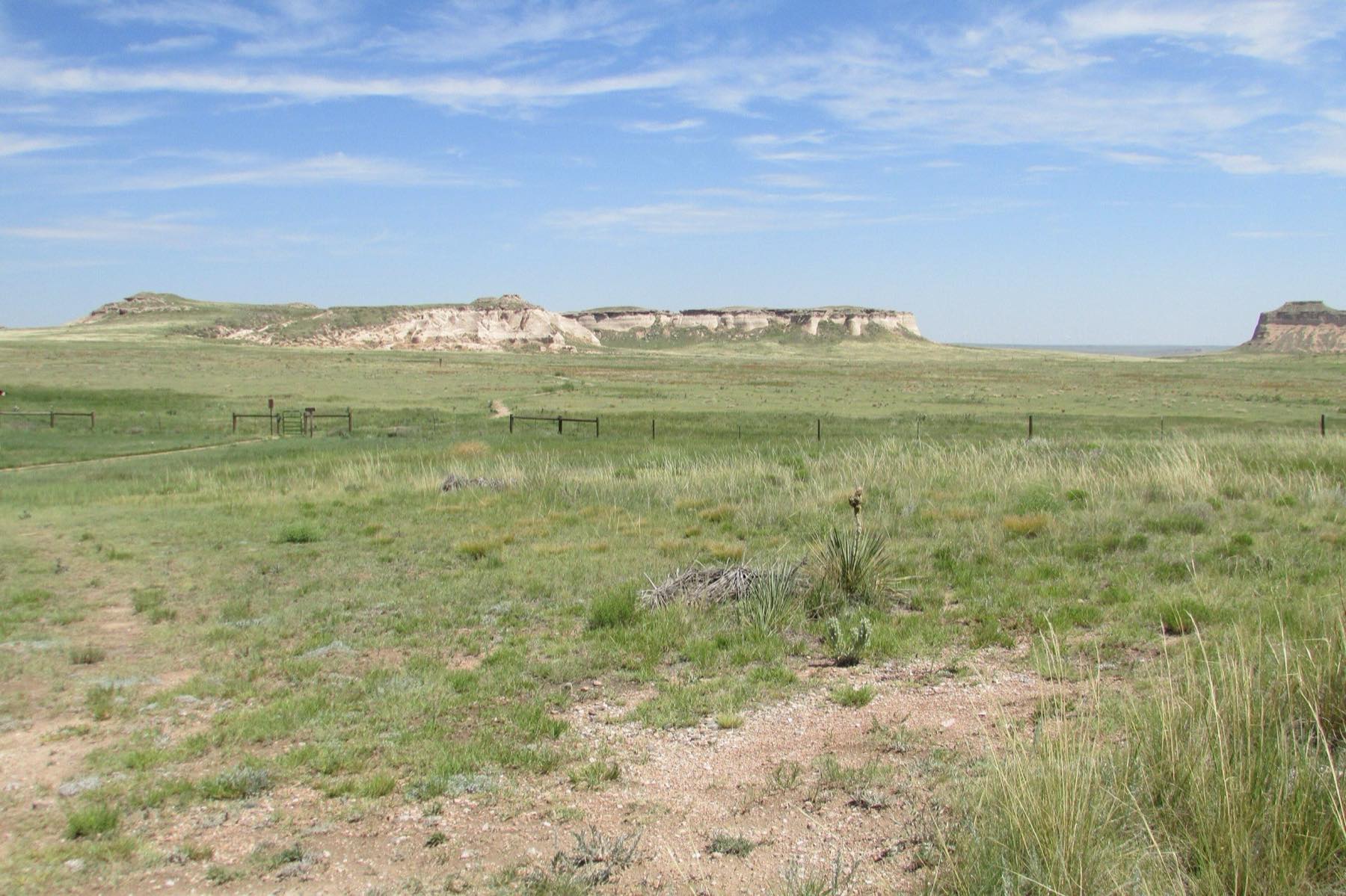
chalk-bluffs-prairie.jpg | Chalk Bluffs rising out of shortgrass prairie in the Pawnee National Grassland, Weld County, Colorado. | Chris Light | CC BY-SA 4.0 | Commons, Chalk Bluffs 2016-07-12 384 |
elk-colorado.jpg | Elk grazing in an open Colorado meadow. | Muttnick | CC BY-SA 4.0 | Commons, Elk grazing |
red-tailed-hawk-flight.jpg | Red-tailed hawk (Buteo jamaicensis) in flight, wings fully spread. | CautiousHabliut | CC0 | Commons, Red Tailed Hawk in Flight |
pronghorn-grassland.jpg | Pronghorn running across open grassland at Great Sand Dunes National Park and Preserve, Colorado. | NPS / Patrick Myers | Public domain (US federal government work) | Commons, Pronghorn Running in Grasslands (46911078155) |
coyotes-grassland.jpg | Two coyotes walking through winter grass at Karl E. Mundt National Wildlife Refuge, South Dakota. | Liz Julian / U.S. Fish and Wildlife Service | Public domain (US federal government work) | Commons, Coyotes Karl E Mundt NWR (52388855178) |
wildfire-grassland.jpg | A wind-driven head fire running through short grass, with a backburn line behind it. Photographed during a prescribed burn at Tallgrass Prairie National Preserve, Chase County, Kansas, in 2007. It is used here to show grassfire behavior and does not depict a Colorado event. | NPS Photo | Public domain (US federal government work) | Commons, Head Fire and Backburn (a596086a-5c00-4c1c-8fb0-cf8e5ef153f1) |
front-range-wildfire.jpg | The 2010 Fourmile Canyon Fire burning behind the Flatirons above Boulder, Colorado. A smoke plume lit at dusk, with an open grass shoulder and rural road in the foreground. 2400x657 pixels. | Zach Dischner | CC BY 2.0 | Commons, Flatirons On Fire (6009468495) |
burned-landscape.jpg | The burn scar of the 1996 Buffalo Creek Fire, seen from Long Scraggy Peak in the Front Range foothills southwest of Denver, 17 years after the fire. | Xnatedawgx | CC BY-SA 3.0 | Commons, Buffalo Creek Fire scar 1 |
horses-pasture.jpg | Horses in a pasture with corral fencing, Grand Lake, Colorado. | Don Graham (Flickr: inkknife_2000) | CC BY-SA 2.0 | Commons, Come Out and Play, Horses, Grand Lake, CO 8-2007 (5991904854) |
horses-fence-rural.jpg | Horses standing at a wooden pasture fence in a rural setting. | Nenad Stojkovic | CC BY 2.0 | Commons, Horses standing near a wooden fence in a rural area - Flickr - nenadstojkovicart |
prairie-grassland.jpg | Open prairie at eye level, Pawnee National Grassland, Weld County, Colorado. Mixed native grasses and forbs running flat to the horizon. | Peter Romero | CC BY-SA 3.0 | Commons, Pawnee Prairie |
native-grass-blue-grama.jpg | Close-up of blue grama (Bouteloua gracilis) seed heads. Blue grama is Colorado's state grass and the dominant species of the shortgrass prairie. | John Rusk | CC BY 2.0 | Commons, J20171002-0049—Bouteloua gracilis—RPBG—DxO (23609209758) |
storm-clouds-lone-tree.jpg | Storm clouds and crepuscular rays building over open rolling grassland near Lone Tree, Colorado. | Jacob Montgomery | CC BY-SA 3.0 | Commons, Storms a'brewin - panoramio |
storm-clouds-pawnee-buttes.jpg | Dark storm clouds rolling in over the Pawnee Buttes and the northern Colorado prairie. | MichaelKirsh | CC BY-SA 4.0 | Commons, Pawnee Buttes Storm Clouds |
subdivision-sterling-ranch.jpg | The Sterling Ranch development on Titan Road, Douglas County, Colorado. New subdivision construction on open prairie. | Cocohead781 | CC0 | Commons, Sterling Ranch on Titan rd |
rural-road-douglas-county.jpg | Douglas County Road 53 looking north, with the Spruce Mountain ridge at left. A narrow two-lane rural road across open grassland, signed "Douglas County 53" and "Snow Route / Tow Away Zone". | Jeffrey Beall | CC BY 4.0 | Commons, County Road 53, Douglas County, Colorado |
dirt-road-hidden-valley.jpg | Hidden Valley Road, Douglas County, Colorado. A rural road winding through the hills. | Jacob Montgomery | CC BY-SA 3.0 | Commons, Hidden Valley Rd - panoramio |
gravel-road-prairie.jpg | A straight gravel road running to the horizon between barbed-wire fence lines across open prairie, Pawnee National Grassland, Weld County, Colorado. | Jamesmartin111 | CC0 | Commons, Pawnee grass |
All images were resized and recompressed for web delivery. Where an image is licensed CC BY-SA, the resized adaptation here is offered under that same license. ShareAlike applies to the adapted image only, not to the surrounding page, its text, or its code.
Each license was checked against the Commons file page. For the public-domain images we looked for an explicit US federal government license template. Images we could not confirm were dropped.
Records
Documents and quotations
Quoted material on this site comes from the following records:
- The developer’s own filings, including project narratives, preliminary plans, traffic studies, ground investigations, wildfire mitigation plans and response letters.
- The Colorado Geological Survey letter of January 30, 2026.
- The South Metro Fire Rescue comment letter of February 4, 2026.
- The Lone Tree Comprehensive Plan, Lone Tree Elevated: Shaping the Future 2045.
- The RidgeGate PD District, 7th Amendment, the zoning plan for this area.
- Comments filed publicly by agencies and residents.
Each of these is linked on the documents page, at its publisher’s own address.
Type
Typography
Fraunces for headings, Inter for body text. Both are released under the SIL Open Font License and served via Google Fonts.
Names
Names and trade marks
“Hillcamp”, “Mesa Tops”, “Brookfield”, “RidgeGate” and other names on this site are used only to name the project and the parties we are writing about.
No affiliation, sponsorship or endorsement is implied, and their logos and marks are not reproduced on this site.
Corrections
Corrections
Tell us if something here is wrong
If a figure, a date, a citation or a description of a document is wrong, email info@savesurreyridge.com. We will correct it and note the correction.