The proposal
What Hillcamp is
Acres, lot counts, roads and phases, from the applications themselves.
01 · Who filed it
A homebuilder, a land developer and a special district
The project is filed with the City of Lone Tree as Hillcamp. The developer’s materials also call the site “Mesa Tops.” It is a joint venture of Brookfield Residential Properties and RidgeGate Investments, Inc. (Coventry Development), with the Rampart Range Metropolitan District also named as a party filing it.
Brookfield Residential is the homebuilder. RidgeGate Investments is the master developer of the RidgeGate community east and west of Interstate 25. A metropolitan district is a government-like special district that can borrow money and charge property taxes to pay for roads, water lines and other public infrastructure.
Peter Lauener is President of Brookfield Residential’s Colorado Division and has been the company’s public voice on this project.
02 · The project
343 homes on roughly 392 acres
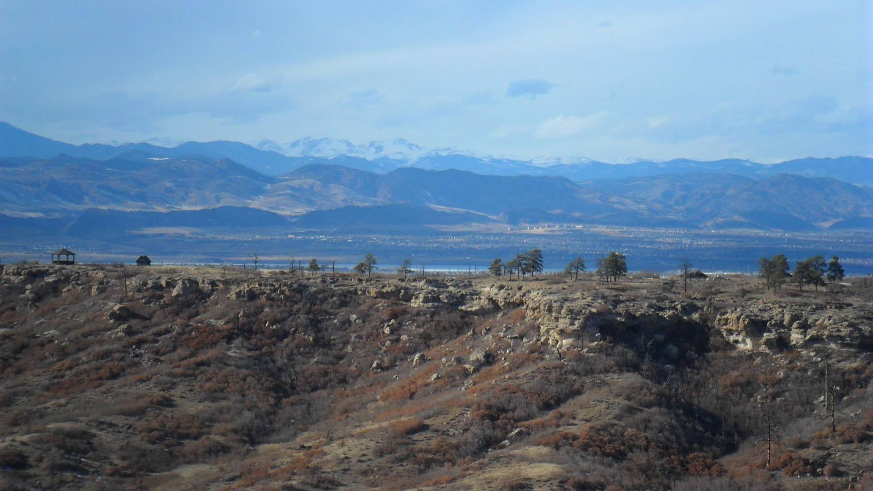
Hillcamp proposes 343 single-family detached homes on approximately 392 acres atop a landlocked mesa on Lone Tree’s western edge. The site lies south of Cabela Drive, west of Interstate 25, south of RidgeGate Parkway, and north of McArthur Drive and Heather Drive.
The site splits into two pieces, each with its own preliminary plan application. A preliminary plan is the detailed layout the City approves before lots can be platted.
| Portion | Acres | Homes | Tracts |
|---|---|---|---|
| RidgeGate Rural Residential | 221.35 | 261 | 45 |
| Southridge Preserve, Parcels 4 & 5 | 170.86 | 82 | 22 |
| Total | 392.21 | 343 | 67 |
The plans also include a 2.68-acre private amenity center in the Southridge Preserve portion and seven stormwater detention ponds. Construction runs in five phases, east to west across the mesa.
What a tract is
The 67 tracts are the parcels between and around the home sites. They hold open space, drainage, landscape buffers, and utility and access corridors. They are counted separately from the 343 residential lots.
03 · Access
One new public road and two emergency gates
The mesa is landlocked. The applications propose a new 4,077-foot public collector road named Hillcamp Trail. It extends Cabela Drive south to RidgeGate Parkway. It has its own final plat application.
The road climbs the side of the mesa. It needs three tiers of retaining walls up to 25 feet tall, 1,123 feet in all. Where it crosses the East/West Regional Trail, the plans propose a 120-foot pedestrian bridge on drilled caissons carrying the trail over the road.
Beyond that single public road, the plans identify two gated access points for emergency vehicles only.
- McArthur Drive, to the west.
- North Heather Drive, to the south.
The plans restrict both to emergency vehicles, so neither would function as a public road.
04 · On file
Four applications
Hillcamp is four separate filings, each with its own case number and City project page. City staff planned to review and hear them together. The developer has since moved the road ahead on its own, and the Planning Commission recommended it with the pump station on October 13. Both go to City Council on November 17. The other three have no hearing date.
| Number | Application | What it covers |
|---|---|---|
| RG24-0007 | Hillcamp Sub-Area Plan | The overall guiding plan for the site. A sub-area plan covers one piece of a larger development. |
| SB25-0010 | Hillcamp RidgeGate Rural Residential Preliminary Plan | 261 lots on the 221.35-acre RidgeGate Rural Residential portion. |
| SB25-0009 | Hillcamp Southridge Preserve Parcels 4 & 5 Preliminary Plan | 82 lots plus the 2.68-acre private amenity center. |
| SB25-0014 | Final Plat, Hillcamp Trail Filing No. 1 | The public street itself, the 4,077-foot collector road. |
Each link goes to the City’s project page, which hosts the submitted documents and the comment portal. Our full index of filings and source documents lists them in one place.
05 · The other side
What the developer says
What the developer says
Brookfield and RidgeGate say the land is already zoned for homes. They say they are building to that zoning and to the adopted RidgeGate planning documents. They say they are converting no protected open space and seeking no rezoning.
On open space, the developer counts 170 new acres on the site and 7 acres of trail corridor. That is on top of 447 acres already handed to the City. They total that as 617 acres of open space against 222 acres for homes. They also point to 7.5 miles of new public trails and an average of less than one home per acre.
The developer says it is paying for the 120-foot pedestrian bridge that carries the East/West Regional Trail. The trail stays where it is instead of being rerouted around the new road.
Peter Lauener has made these points in public and in the City file.
We do not agree with the conclusions the developer draws from those numbers.
06 · Our position
Why we disagree
Zoning is a starting point. Colorado law and Lone Tree’s code still require the City to make specific findings before it can approve this project.
Those decisions are missing from the file. The City has made no finding that the water supply is adequate under C.R.S. § 29-20-303, no written check that the plan matches the City’s own plan, and no independent wildlife review. The plan offers one public road and two locked emergency gates. Both gates end on county roads outside the city, and the developer has written that one of them cannot carry a public road. The traffic study does not account for conditions at a ramp where the developer’s own engineer records a failing turn. The Colorado Geological Survey found the ground studies too thin in January 2026, and the latest study, from September, is still marked preliminary.
Open space acreage does not tell the City how 343 households would get off this mesa in a wind-driven fire, or where their water would come from.
We are asking the City to fit the project to the road, the water and the ground that would have to support it.
The applications are still open
The road and pump station go to City Council on November 17. Write the Council now.